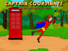
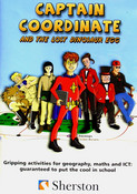
7 fully narrated, engaging activities designed to
develop important geography, math and computer technology skills. With 2
modes, each activity can be practiced in isolation or as part of an
exciting and entertaining adventure in which students help Captain
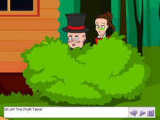
Coordinate save a lost dinosaur egg from the greedy Profit twins. Each
focused activity has 3 levels of tutorial and help options to
encourage independent learning, while record keeping tracks students'
progress. The objectives covered are listed under the other photos.
Item TF-2217
Win 95+,
P-166MHz, 32MB RAM, 16 bit color, & sound card
Mac
OS 8.1+, 233MHz, 32MB RAM, 16 bit color, & sound card
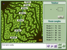
Geography Skills
- Using maps- selecting routes on a map and calculating the length of
each route.
- Compass Points - giving instructions needed to move around a simple
map.
- Understanding Scale - giving instructions needed to move around a
simple map.
- Interpreting an Aerial View activity - interpreting an aerial view and
locating addresses on a street map of the same area.
- Using map symbols- using knowledge of map symbols and a key to
complete a missing map square.
- Using compass points- working with the 4 main compass points when
giving directions.
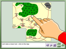
Geography Skills
- Compass points activity - working with 8 compass points when giving
directions.
- Using letter/number grid references- entering letter/number
coordinates to locate specific squares on a map.
- Using 4-figure coordinates- entering 4-figure grid references to
locate specific squares on a map.
- Using 6-figure coordinates-Coordinates and Map Symbols activity -
entering 6-figure grid references to locate specific squares on a map.
- Using scale - measuring distances using a simple scale.
Computer Technology Skills:
- Checking and correcting a database-checking and correcting a simple
database to ensure it is accurate.
- Searching a database- carrying out searches to find records which
match given criteria.
- Controlling an on-screen object-entering commands to control an
on-screen object around a simple map.
- Scale activity - entering commands to control an on-screen object
around a simple map.
- Interpreting an Aerial View activity - entering commands to control an
on-screen object around a simple map.
Number Skills:
- Using addition -Calculating Routes - calculating the lengths of routes
by adding a pair of two-digit numbers together.
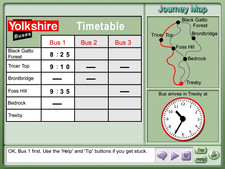
- Reading the time
- Understanding Timetables activity - converting an analogue time into a
digital time when filling in a blank timetable.
- Recognizing compass points-Compass Points activity - working with the
4 main compass points when giving directions.
- Understanding Scale activity - working with the 4 main compass points
when giving directions
- Compass points activity - working with 8 compass points
when giving directions.
- Using scale-Understanding Scale activity - measuring distances using a
simple scale.
Number Skills:
- Using letter/number grid references-Coordinates and Map Symbols
activity - entering letter/number coordinates to locate specific squares
on a map.
- Using 4-figure coordinates-Coordinates and Map Symbols activity -
entering 4-figure grid references to locate specific squares on a map.
- Using 6-figure coordinates-Coordinates and Map Symbols activity -
entering 6-figure grid references to locate specific squares on a map.